Northern Landbridge: Difference between revisions
From Drunkapedia
imported>Arkalor's Bot m (Text replace - "Category:Location" to "") |
imported>Arkalor's Bot m (Text replace - "Category:Geographic Area" to "Category:Geographic Areas") |
||
| Line 59: | Line 59: | ||
| Wiki Map File = | | Wiki Map File = | ||
| ACmaps ID = 0192 | | ACmaps ID = 0192 | ||
}} | }} | ||
{{Dungeon Maps | {{Dungeon Maps | ||
| Line 67: | Line 65: | ||
| Wiki Map File = | | Wiki Map File = | ||
| ACmaps ID = 0147 | | ACmaps ID = 0147 | ||
}} | }} | ||
{{Dungeon Maps | {{Dungeon Maps | ||
| Line 75: | Line 71: | ||
| Wiki Map File = | | Wiki Map File = | ||
| ACmaps ID = 01C1 | | ACmaps ID = 01C1 | ||
}} | }} | ||
}} | }} | ||
| Line 119: | Line 113: | ||
</gallery> | </gallery> | ||
[[Category:Geographic | [[Category:Geographic Areas]] | ||
Latest revision as of 09:06, 12 April 2014
| Introduced: | Release |
 |
Description
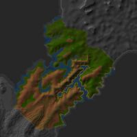
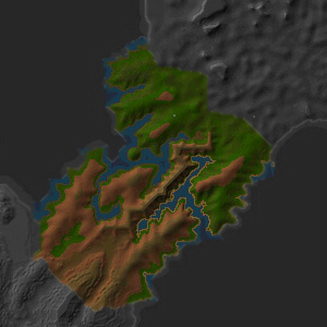
The area of land at approximately 15.2N, 50.7W that connects the North Direlands to Northern Osteth.
Related Quests
Route
- The quickest route is via the Lesser Direlands Device at your Mansion.
- You can also take the Last-Stop-Before-Dires Villas Portal outside Plateau Village at 45.4N, 42.3W. It drops you right at the eastern end of the land bridge.
- If available for summoning, there is a Direlands North Landbridge Portal inside the Direlands Subway (lockpick required).
Points of Interest
Housing Settlements
Lifestones
Dungeons
| Dungeon | Coordinates | Wiki Map | ACmaps |
|---|---|---|---|
| Mountain Halls | 10.1N 56.7W | -- | 0192 |
| Mount Naipenset Caverns | 5.6N, 56.2W | -- | 0147 |
| Tumerok Mine | 7.9N, 61.3W | -- | 01C1 |
Creatures
Note: Most landscape creatures have a spawn map on the creature's article page.
Images
-
Northern Landbridge
-
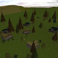
Last-Stop-Before-Dires Villas
-
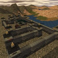
Castle Pietrus
-
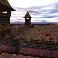
Bloodstone Company Fortress
