File:Point Map 512 2009-02.jpg
From Drunkapedia
No higher resolution available.
Point_Map_512_2009-02.jpg (512 × 511 pixels, file size: 56 KB, MIME type: image/jpeg)
Summary
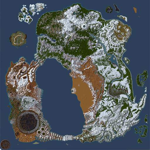
Small map of Dereth as of 2009-02, with all of the currently snow covered areas shown in white.
Licensing:
| Copyright Details | |
| License: | Creative Commons Attribution-ShareAlike License v. 3.0 |
| Source: | User created work
|
| Author: | Image uploader |
| If you think this image is incorrectly licensed you may discuss this on the image's talk page. | |
File history
Click on a date/time to view the file as it appeared at that time.
| Date/Time | Thumbnail | Dimensions | User | Comment | |
|---|---|---|---|---|---|
| current | 12:54, 10 March 2024 | | 512 × 511 (56 KB) | Maintenance script (talk | contribs) | == Summary == Importing file |
You cannot overwrite this file.
File usage
The following page uses this file: